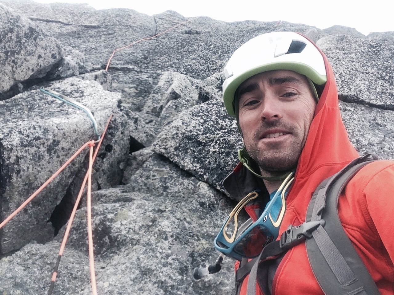
Inside the DeLorme InReach Explorer – Mike Soucy
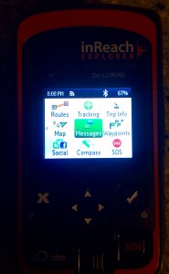
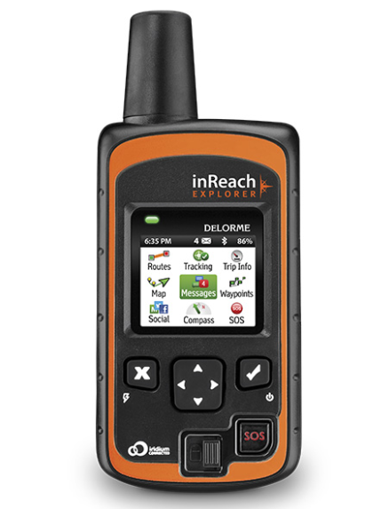 The DeLorme InReach Explorer is a great addition to the guides’ toolbox for emergency response and communication. It combines the two-way communication features of the InReach SE with a full GPS navigation and tracking capabilities; providing a multi-functional piece of technology for your pack. All of this in a package that’s about half the size and weight of a satellite phone
In reviewing this product, I decided to start from the basics of function and ease of use in an emergency setting:
DeLorme uses the Iridium satellite network to help you connect and communicate with anyone, wherever you are on the planet. Iridium’s extensive system of satellites creates the most reliable communication network available.
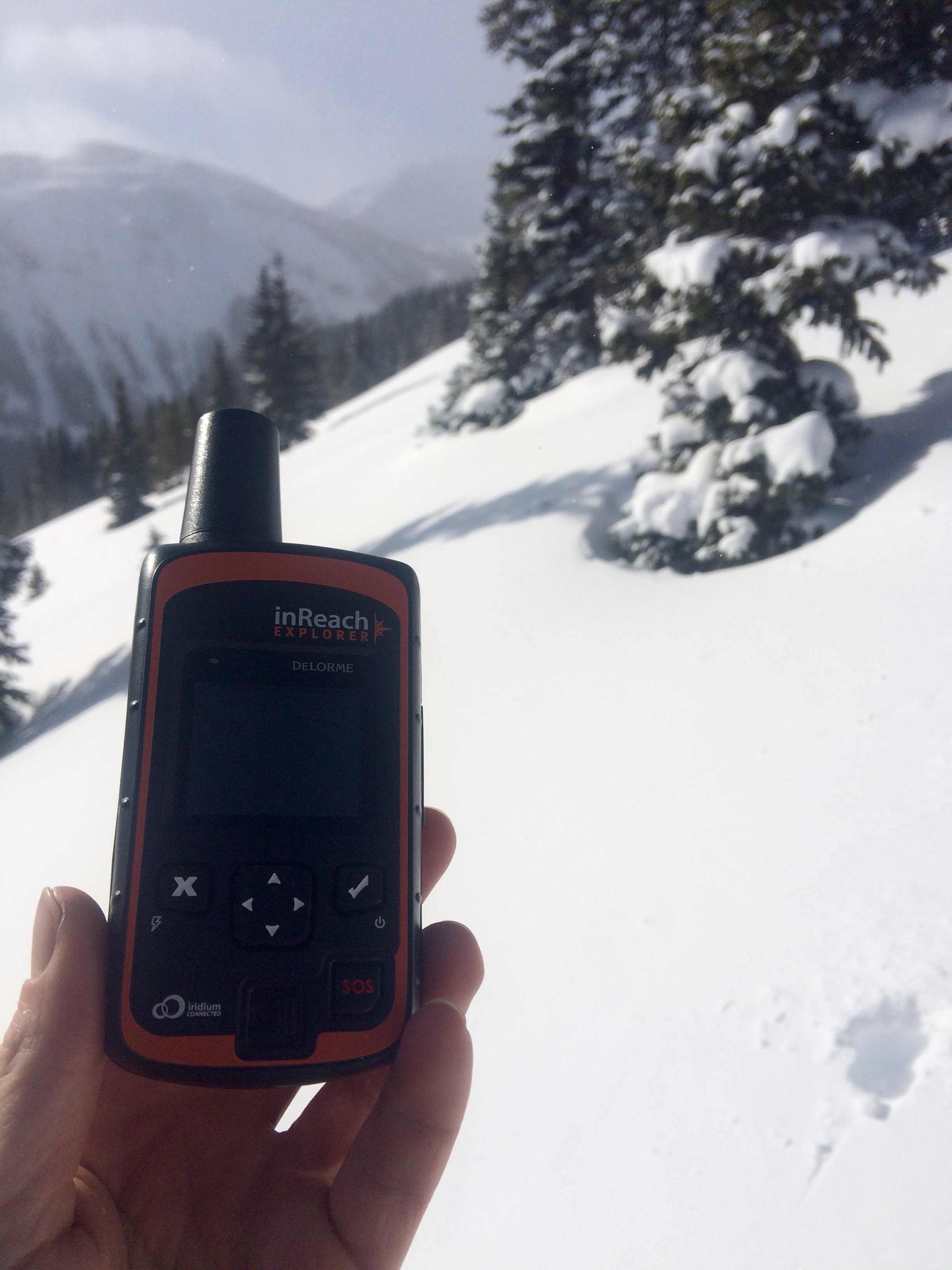
The Explorer has an obvious SOS button that, once unlocked and pressed, sends a message to a “bunker in Houston” which is staffed 24/7 with a team of SAR coordinators ready to dispatch a rescue mission to your location. I like that.
This function is similar to Personal Locator Beacons (PLB’s) of the past, but has been improved- the Explorer provides an avenue for 2-way text messaging, allowing greater detail and constant correspondence between you and the response team.
This brings me to the Explorer’s second tier of features, 2-way text communication with any phone number or email address out there. After connecting the device to my iPhone via the Earthmate App and bluetooth, I can send and receive text messages from those at home, or others on the mountain using the same system. Posting via social media is also an option.
 This helps to create an easy and reliable interface for checking-in with loved ones or logistics planning with other climbers on your trip. For the guides out there, this feature could prove to be the most useful- close to a sat phone, at a fraction of the cost.
The predominant difference between the DeLorme Explorer and SE models is the addition of a full-function GPS to the Explorer. This includes waypoints and routes, as well as a tracking function that enables you to build nice trip profiles. This can all be used in conjunction with DeLorme’s own mapping software. I personally prefer to use the higher-quality USGS maps on my phone’s Gaia app. For this reason, I would be fine using the SE model and forgoing the GPS capability.
The inReach products, specifically the Explorer that I tested, will surely become a guide standard in emergency response and outside communication.
In addition to all of the tools provided for the guide, one of the greatest advantages is its ease of operation. I will be handing it to my guests and coaching them on its use, if I were to have an accident and not be accessible.
The reliability and piece of mind that it provides should be selling points to any of us traveling into the remote wilds.
 Homepage:


